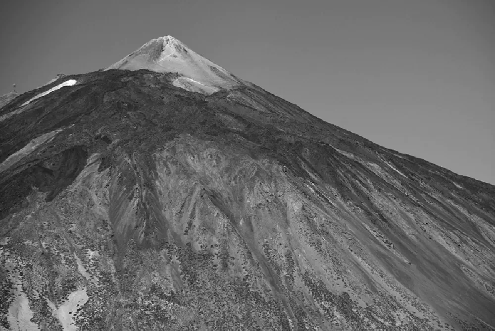
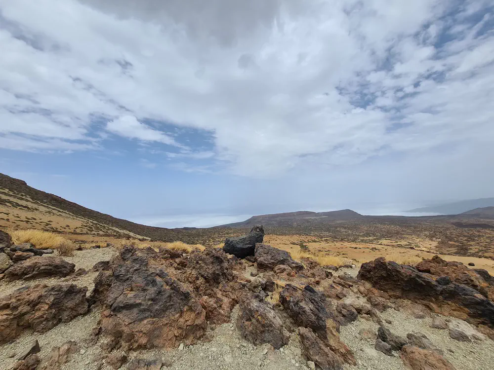
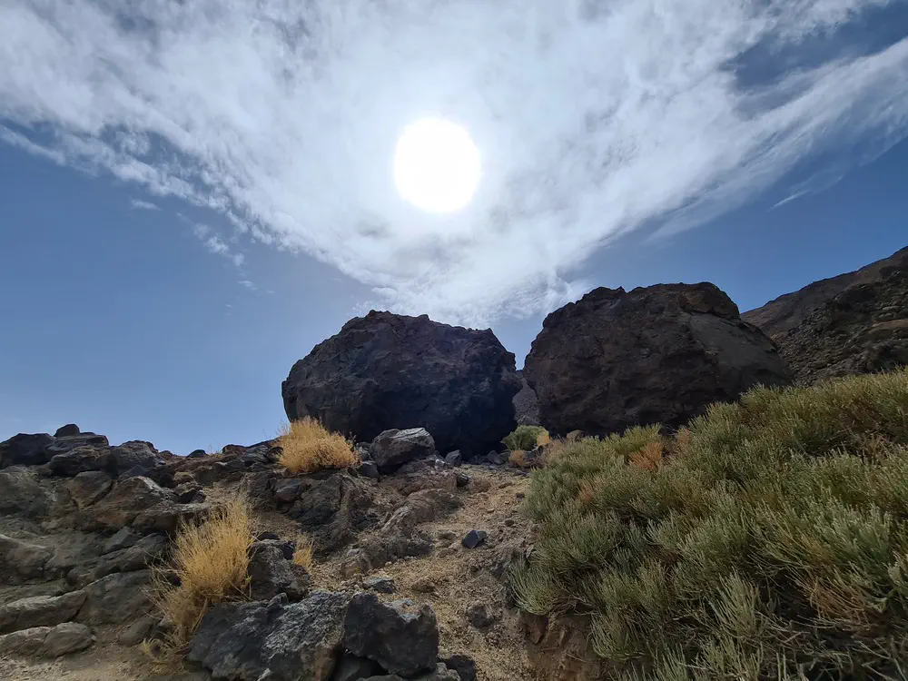
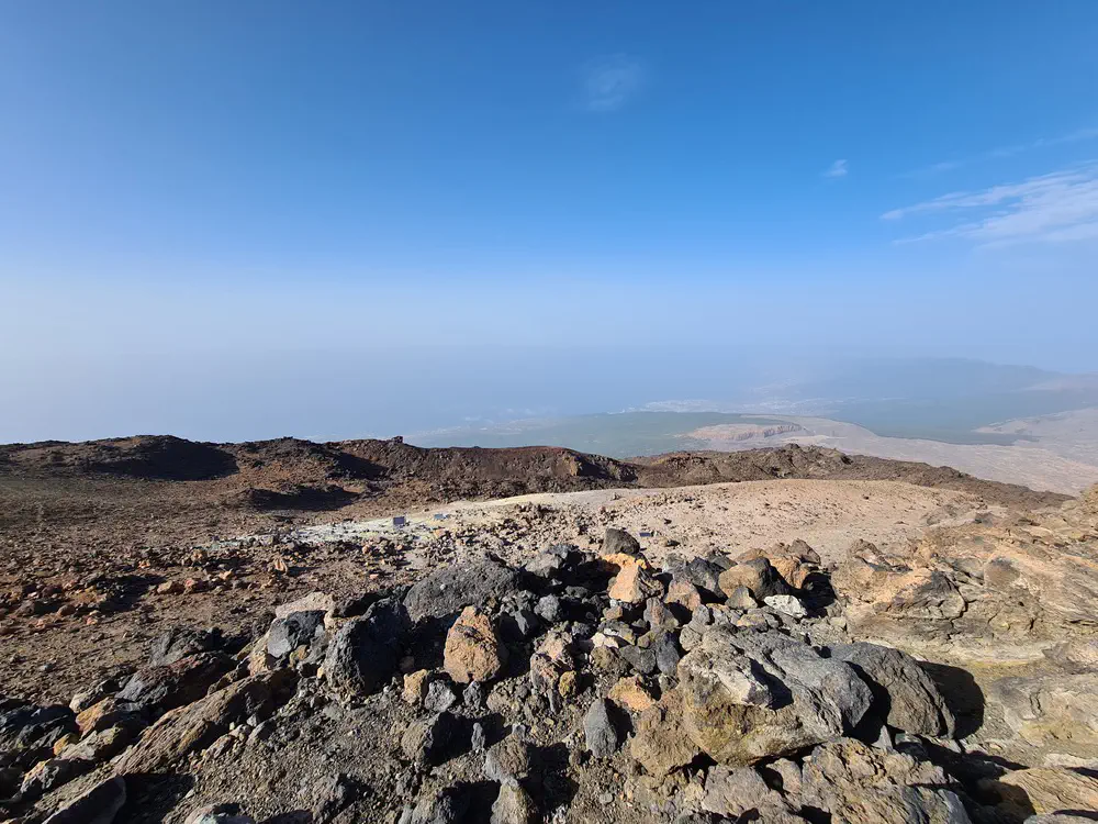
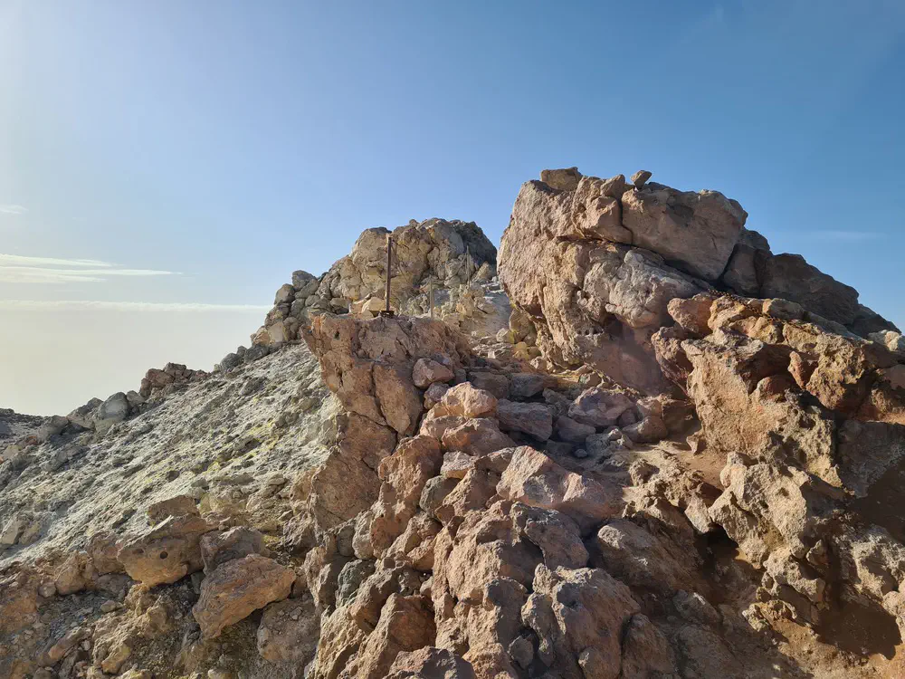
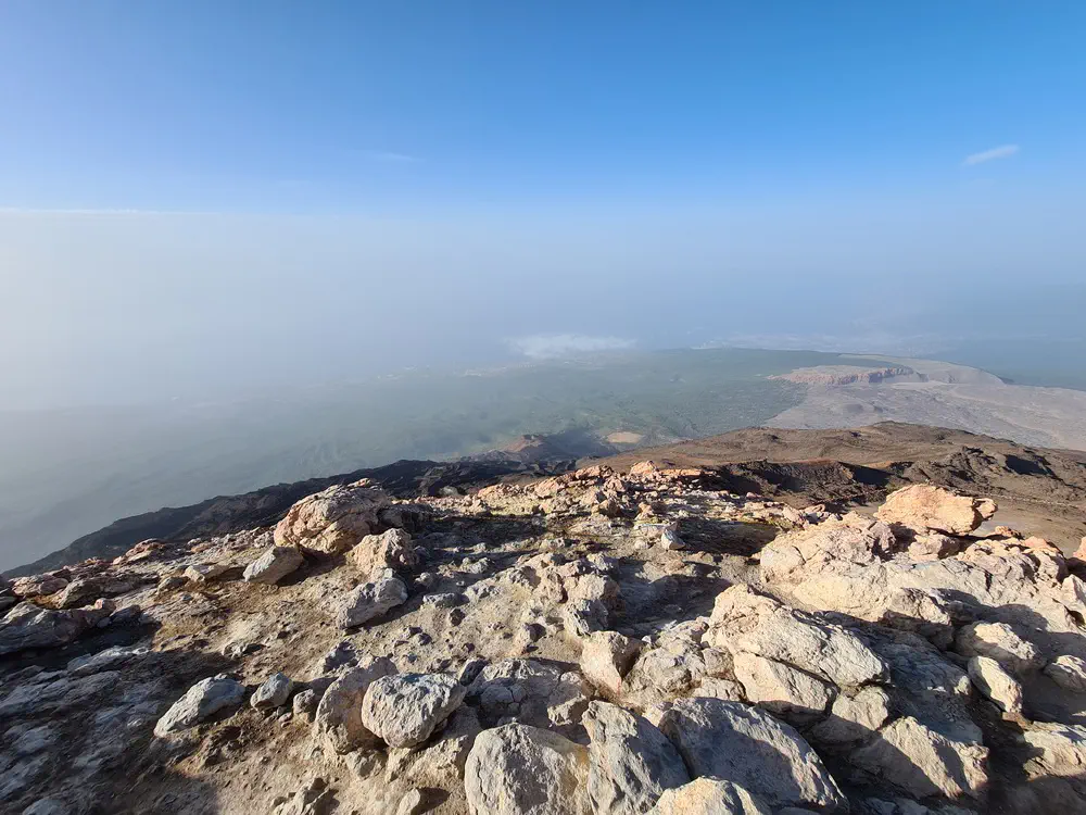
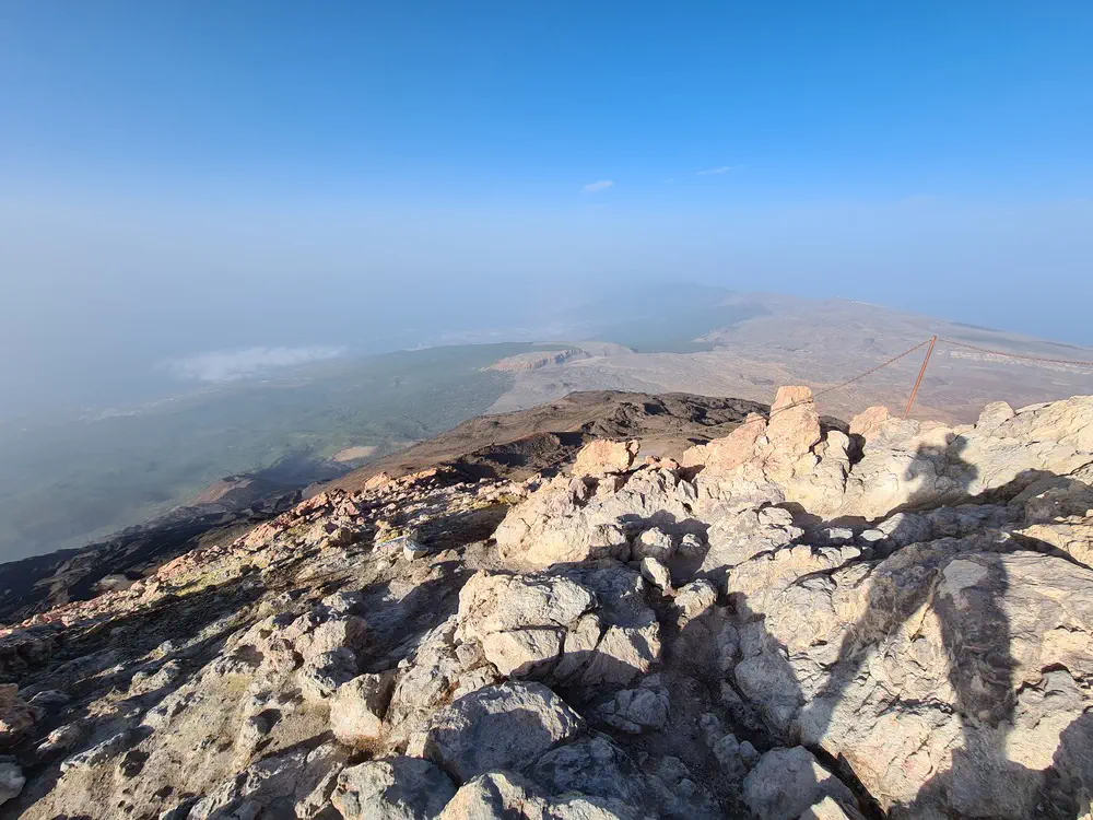
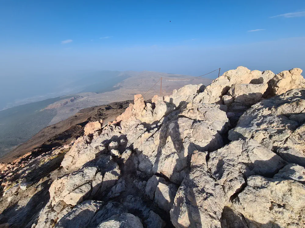
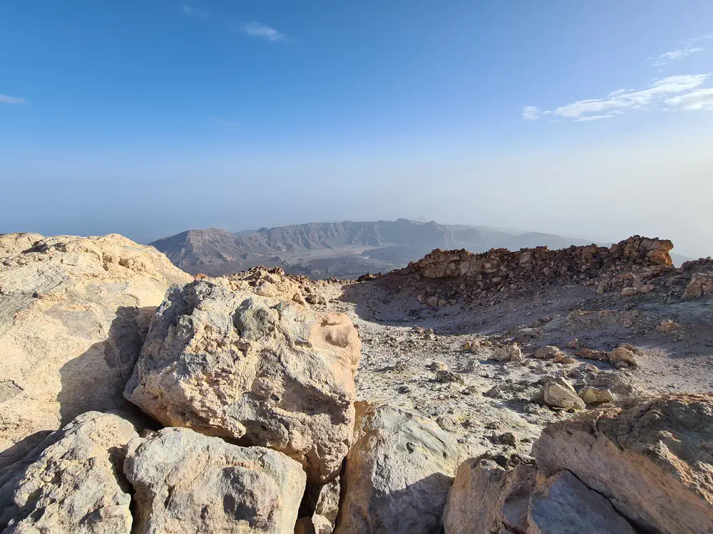
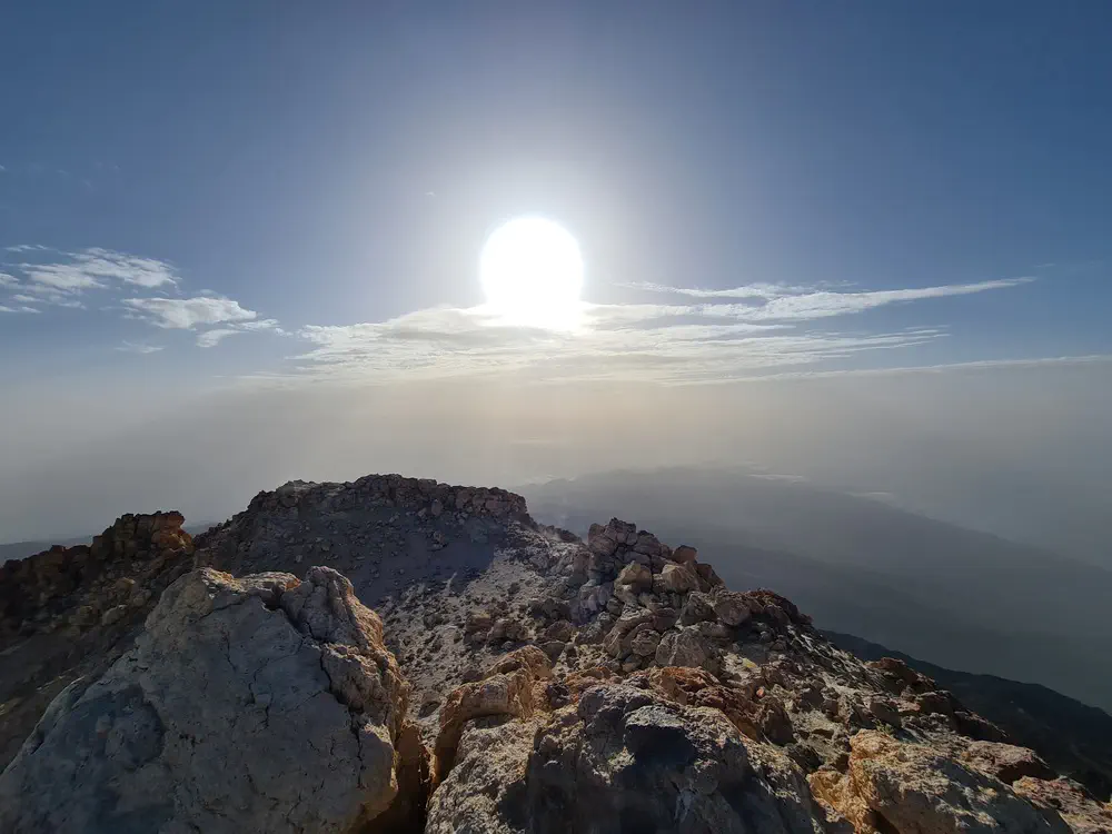
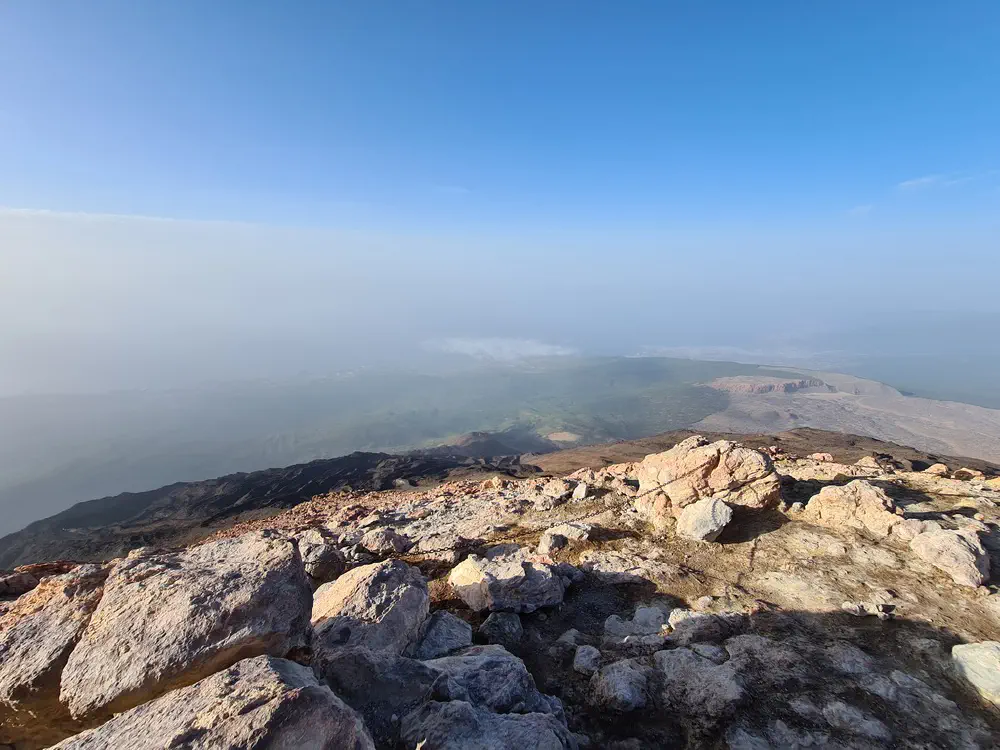
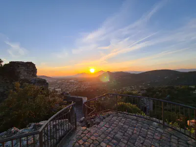
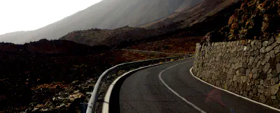
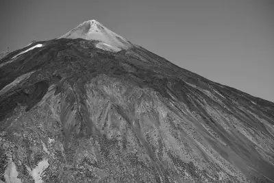
Mount Teide is the highest elevation on Tenerife, the Canarian Archipelago, and Spain in general. It is situated on the beautiful volcanic island of Tenerife with a summit at 3715 metres. In this article, I give some information about how to find your way up, what to consider and what to take care of.
Red Tape
To climb the final metres to the summit, an official permit from the national park administration is mandatory. Experienced hikers may feel a little bit confused about this, but it makes sense after considering the circumstances. Tenerife has a very strong tourism industry, and lots of visitors spend some time on the island. They often use organized bus tours to the Teide national park, and with the cable car next to the bus stop, even the ascend is no challenge anymore. And often, those sort of travellers have no experience with nature and lack basic behavior skills. Though, the maximum number of visitors to the summit is limited.
Getting there the lazy or the real way
As told before, there is a cable car. If you are physically challenged, this might be an idea, but I would rather recommend to spend the time somewhere else, because: If you didn’t hike the way, you weren’t there. My apologies for being that clear, but consumerism and mountains to not mix very well. So, I highly recommend packing your bag, get your hiking shoes and walk the way from the car park somewhere next the visitor center to the summit, or as far as you can go.
Obtaining a permit for visiting the summit
You can book a permit here. Please be warned: the experience in the park is awesome, but the user experience on that site is not. :)
Another advise: Book beforehand. A lot of slots is reserved for organized tours, just a little fraction is available to the genereal public. So, if your schedule regarding a visit on Tenerife is clear, reserve your slot.
Temperature
Tenerife is known for its sunny beaches and its mild climate. This perfectly applies on the seashore, but in the higher elevations, one might find himself in an alpine situation. It is advisable to prepare for temperatures down to -5 degrees centigrade, even if your acquaintances are planning to spend the day on the beach. There is nothing up there holding back the cold winds from the ocean. But don’t panic, a preparation for a general mountain tour with multiple layers of clothing and weather conditions is perfectly fine.
Terrain
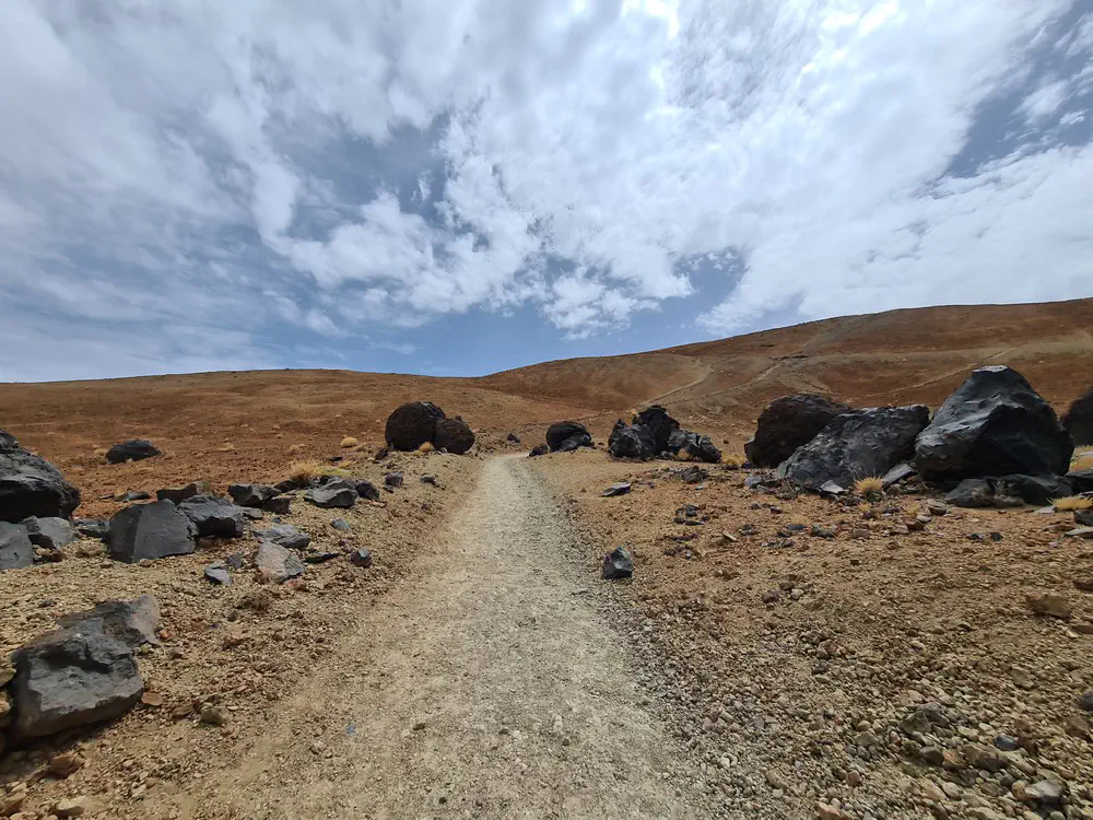
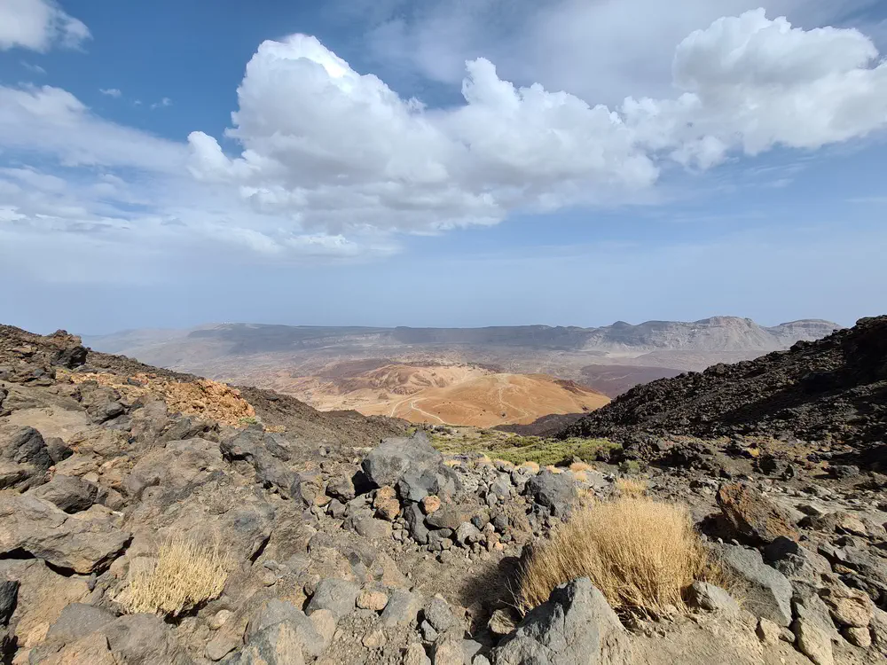
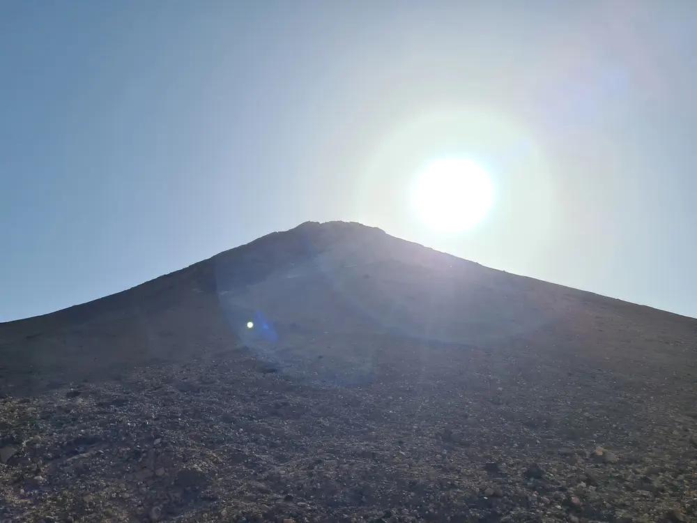
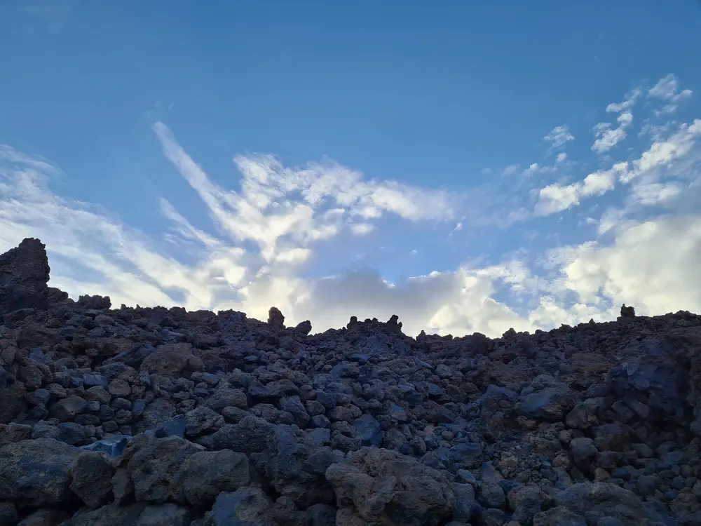
If you start from the parking spots or the visitor center, the first part of the route is quite comfortable to walk. From Montanja Blanca, it becomes very steep and rocky, with a high risk of injuries. So be cautious and take your time. You want to get up in one shot. Furthermore, be clear about your physical exercise. The entire way behaves like a big stairway, so your legs should be able to cope with that. If you are a cyclist, you sould be fine.
Altitude
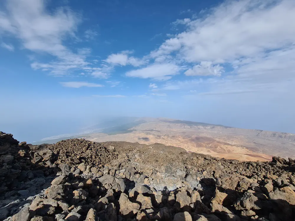
Hiking from sea level to 3700m reveals one fact about the human body: Regardless of any personal physical fitness situtation, the body will lack some horsepower in upper elevations. So, it is advisable to take this into account and be aware of any signs of fatigue or sickness in corelation to elevation. If any signs occour, either slow down or descend as soon as possible.
Supplies
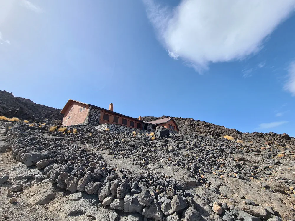
Prepare for a 10-hour trip with increased demand for water and food. The only place to replenish supplies is the Refugio Altavista, but if you pay attention to econonic decisions and quality, you might want to bring your own food and drinks.
Daylight
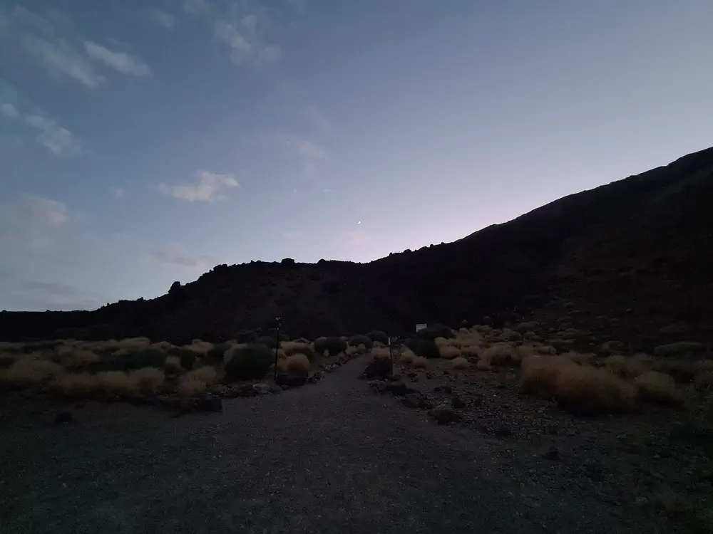
Consider the sunset time and always have some flashlights with you. After sunset, it becomes dark very quickly.
Emergencies
If you are an experienced hiker acqutainted with rocky terrain, you might consider going alone. Otherwise, have at least one more companion with you. The environment is quite prone to injuries caused by slipping rocks and drops. Also, dont rely on your mobile phone, the networks dont cover the whole way, so either have a team member who is able to relocate to a covered spot, or use a HAM radio to contact your basecamp.
