Calling myself a passionate cyclist and having some time off left after coming back from a bike tour to Denmark, I decided to ride three climbs which are used frequently on the Tour de France: Mont Ventoux, Col de Galibier, and Alpe d’Huez, with a break on the Cote d’Azur. This is my report about the Giant of Provence, Mont Ventoux.
The Challenge
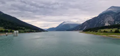
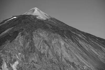
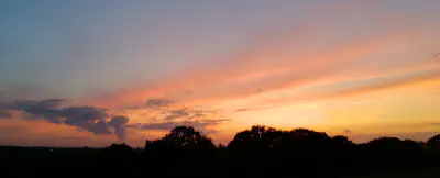
Mont Ventoux is situated in the central Provence, about 30km east of Avignon. It can easily be spotted as the highest elevation in a group of hills and mountains while approaching Avignon on the Autoroute de Soleil on the way to Marseille. It is possible to climb Mont Ventoux from three towns directly : Bedoin, Malaucene and Sault, while Bedoin is the hardest one and the approach which is used for the Tour de France – so I headed to Bedoin. Besides being the gateway to a fantastic climb, Bedoin offers remarkable hospitality in terms of restaurants and free parking for cyclists with absolutely no hassle.
The height is not everything Mont Ventoux has to offer to make the ascent a litle bit harder for us cyclists. First, we have the gradient, which can go above 10% for quite a part of the trip. Second, as it says on the tin (“vent” is french for “wind”), the Mistral. a hot and fast wind from the Mediterranean, is a frequent guest, blowing at around 200km/h most time of the year, accompanied by the soft and chilly wind from the Provence. The wind sort of amplifies another challenge of that place – the heat. It is quite common to have temperatures around 40 degrees centigrade on the way to the top. Additionally, there is one thing which could force you to stop frequently – the beauty of the area. If you ever sat on the stone wall on the “Col de les Tempetes”, you might know what I am talking about.
The ascent from Bedoin
Leaving the last roundabout in Bedoin, you ride along a long straight, leading through a beautiful surrounding, with a light gradient. Some riders pull the throttle to max here, experienced riders go a little bit slower, conscious that the giant on the left, carefully looking down on them (in other words, taunting them), might not have yet exposed his repartiore. After a while you reach a bend that leads into a forest which will surround you for 10km from there on. A few meters before the bend there is a fountain, you might use it to cool down or even soak your jerseys in it, unfortunately I didn’t. Whatever need concerning water you might feel, deal with it now. There will be no other chance before the end of the forest. Besides, I highly recommend taking 2, even 3 bottles of water to the ride – bringing less than 2 on a hot summer day simply put is like bringing a knife to a gunfight.
The forest
Face 10km of riding under the sun with little wind. Face tough gradients, other riders fighting their way up and even the scent of overheating clutches and brakes from the cars putting serious effort into their climb, too. There is absolutely no stretch available for relaxing, and riding a road bike with a transmission actually aimed on speed, I had to go slightly faster than I considered as suitable for that ascent in order to stay above 70rpm – leaving no chance to ride in the green for even a minute. In the last quarter of the forest, I used the strategy of slowing down and even doing track stands twice in the few shadows from the trees on the side of the road, trying to cool down and save some reserves for what might be yet to come. After 20secs of track-standing in a larger shadow before a bend, the speedometer indicated an outside temperature of 39°C and a heartrate in the upper green, which should be enough to master the rest of the ascent.
I really appreciated the woman emptying water pistols on the cyclists. Also I would like to express best wishes to the couple which, according the the proposals on the road, engaged here on that day, “hup” to the dutch cycling team and respect to the danish cycling fans who managed to paint a huge dannebrog for Jakob Fuglsang across the road (presumably) without having been killed.
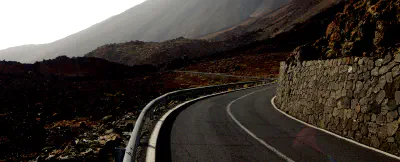
The wood ends with another bend, leaving a restaurant on the right hand side and taunting you with another uphill stretch. Again, if you need to refill your water bottles, which means that there is any space left in them, do it now, this is the last opportunity before the summit.
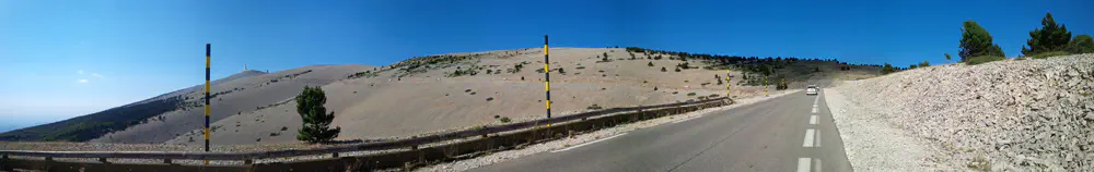
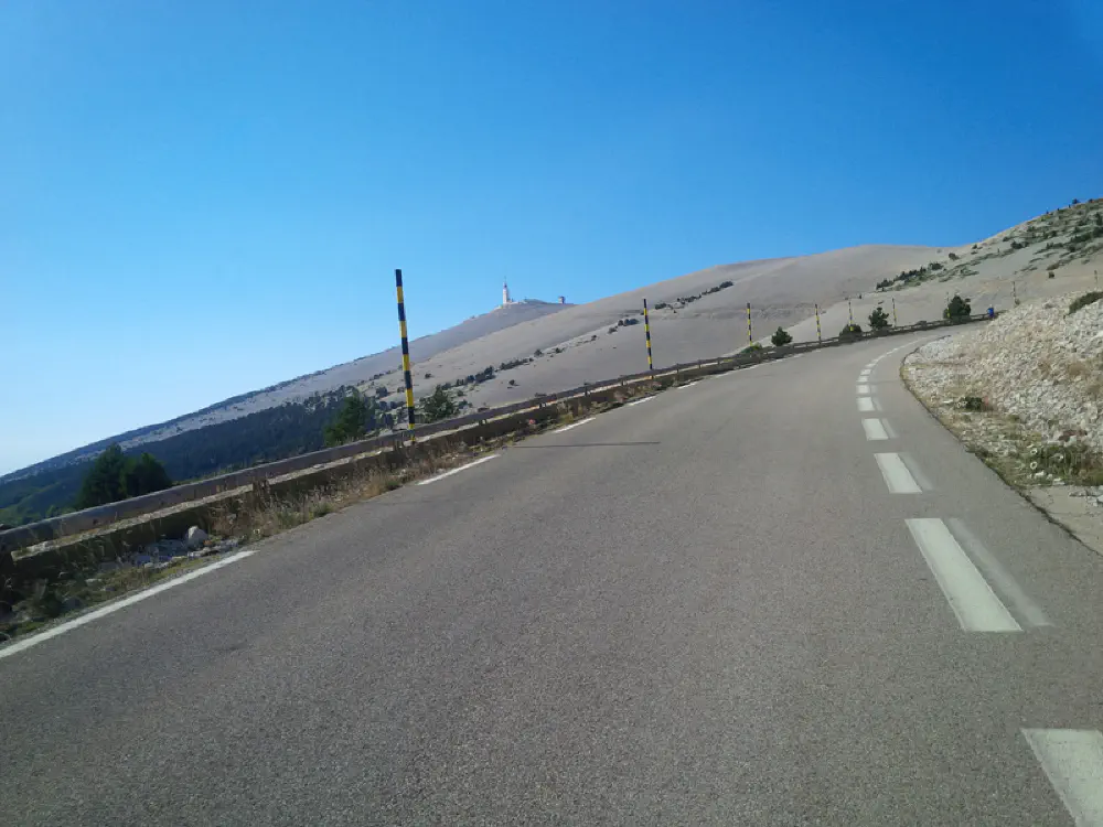
There’s a moon to let …
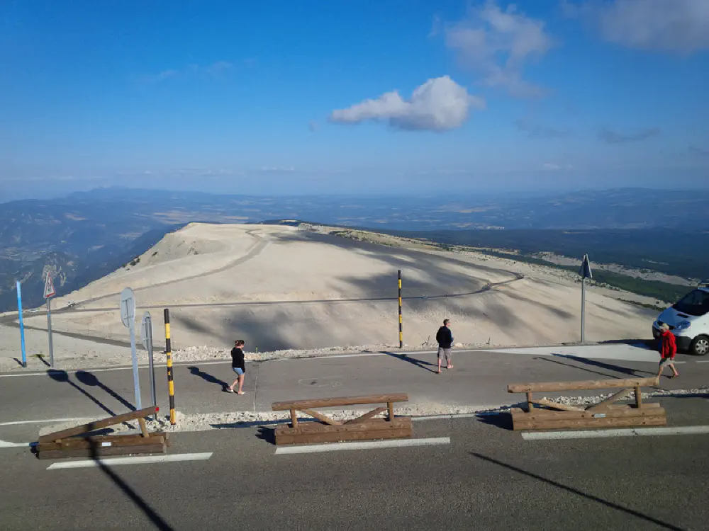
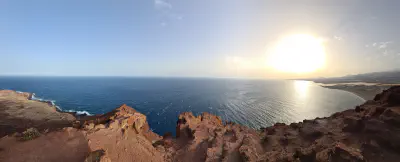
Having turned right at the end of the first bend after the restaurant, you might confuse your surroundings with the moon. Taking a photograph in black and white, with some fancy helmets and fire extinguishers on the back might be a great scene for some kind of short film. The area is completely bleak and just gray and white. The ascends get tougher, the wind gets hotter, and the sun is burning down on you. Me, I couldn’t think about the heat, I was enjoying the view too much, having the moon on the right and a gorgeous view on the Provence to the left.
Some cyclists say that they experience a huge power loss in this area, as the lack of oxygen is getting more and more noticeable. I didn’t notice a power loss worth mentioning there, though.
One kilometer before the summit, you find a memorial to the british cyclist Tom Simpson on the right. He collapsed right here during the 1976 Tour de France, found being full of Cognac and Amphetamines. Tom, I obviously didn’t know you, it was quite a while after your death and before my birth, but for my opinion, you are forgiven for the substance abuse, you are even another reminder on how short life can be. The water bottle I left up there accompanied me in Germany, Belgium, the Netherlands, Denmark and, obviously, France. Around the memorial, there are several small other ones, I unfortunately do not know the story around them.
You must stop here..
..even if you are on a timed lap.
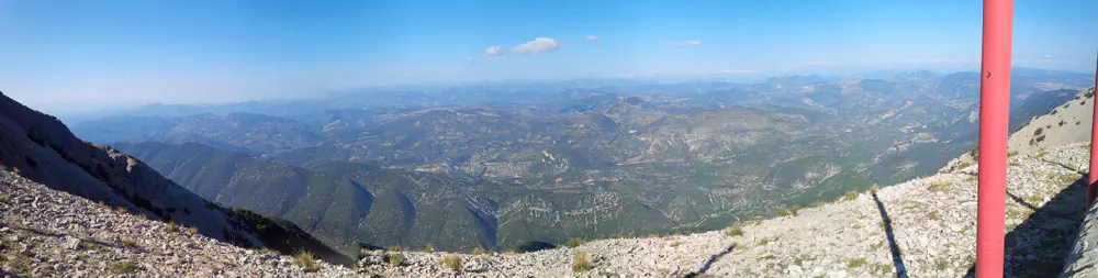
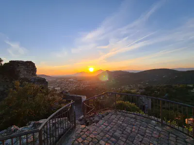
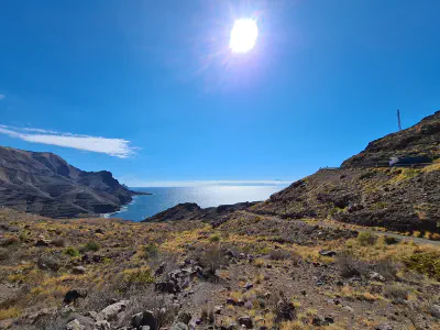
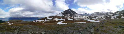
600 metres before the summit, the road takes a bend to the left, exposing an overwhelming view on the Provence on the right and the Alps on the horizon. I will not even try to describe it in more detail, just let me point out that if you want to have the impression of piloting a glider around the Alps, this is the right place. The summit and the descent
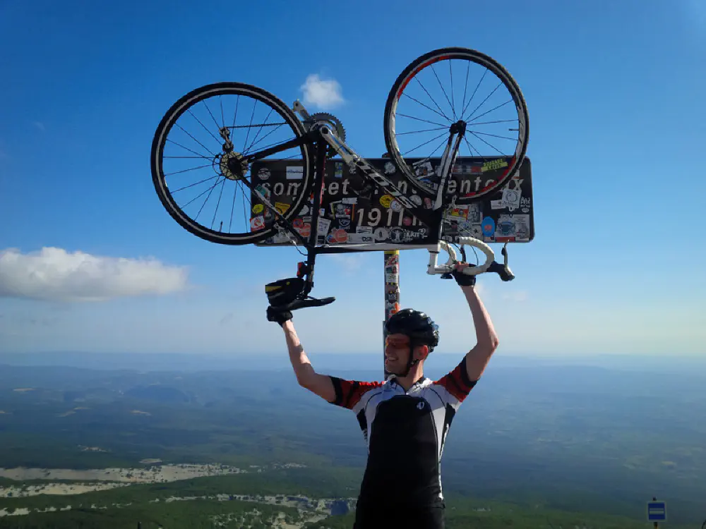
Up the last bend, the famous right turn, and up you are. Congratulations, enjoy the view! You might even change clothing to something windproof, as there will be a 21km descent waiting for you, which will easily result in speeds above 100km/h. I highly recommend to check tires and brakes before and after the descent and practice cornering before going to Mont Ventoux, as I am sure no brake, regardless of its type, not even disc brakes, will stand the descent if you are not skilled in cornering and technical braking.